×
Tracking Map
Camp
Pictures
Strava
×
Submit Location
Latitude
Longitude
Latitude & Longitude
(comma separated or not)
Timestamp
Location:
Camp
Other
What’s this?
Select "Camp" if this location is where you are camping (will show up on the map and /camp). Use "Other" otherwise (shows up in /pictures).
Note
(maybe include
actual
mileage)
Click to upload an image
Submit
Last update
3 days
ago
1 May 2025 7:30:00 AM
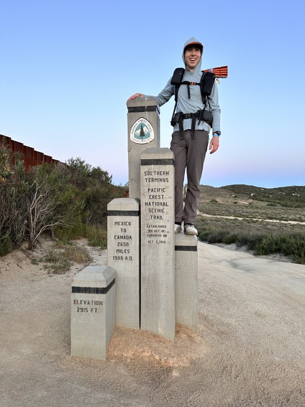
At the southern terminus on the Mexican / United States border starting the Pacific Crest Trail.
1 May 2025 7:30:01 AM
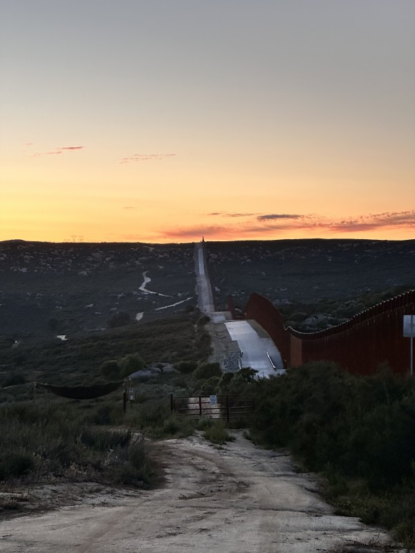
Looking at the United States / Mexico border
1 May 2025 8:30:00 AM
Mile 1 of the PCT
1 May 2025 4:46:33 PM
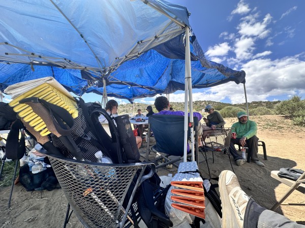
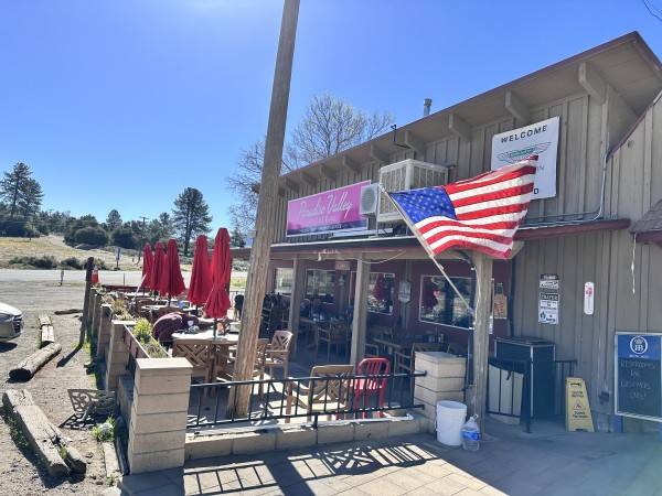
Day 1: Lake Morena campground + Boulder Shores malt shop.
2 May 2025 3:50:04 PM
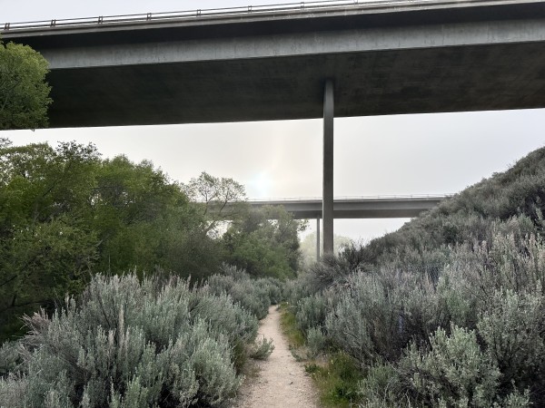
Highway over the PCT
2 May 2025 3:50:46 PM
Clouds
2 May 2025 3:51:12 PM
Rest
2 May 2025 3:52:02 PM
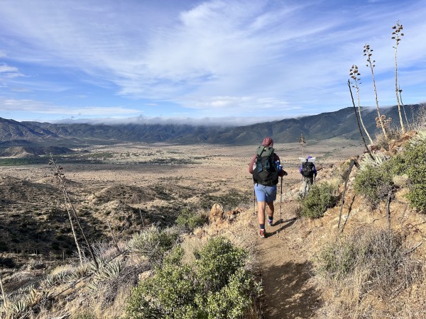
Trail
3 May 2025 3:18:58 PM
Day 3 lunch break
4 May 2025 10:19:59 AM
PCT Day 4: Resupply and pie in Julian
5 May 2025 5:55:35 PM
💯 miles
5 May 2025 5:57:25 PM
Trail magic
5 May 2025 6:01:09 PM
On the trail
6 May 2025 12:26:38 PM
Warner Springs Community Center: resupply.
7 May 2025 12:17:15 PM
Mike’s Trail Magic
8 May 2025 10:09:52 AM
Breakfast at Paradise Valley Cafe.
9 May 2025 9:13:05 AM
Palm Springs
10 May 2025 9:27:37 AM
Idyllwild Laundromat
10 May 2025 8:38:37 PM
Mayor Max - Golden retriever mayor of Idyllwild
11 May 2025 9:02:40 AM
San Jacinto
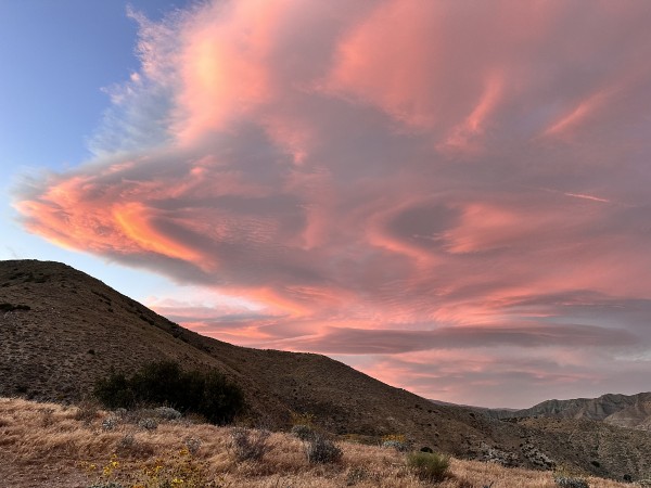
15 May 2025 6:15:37 PM
PCT sunset